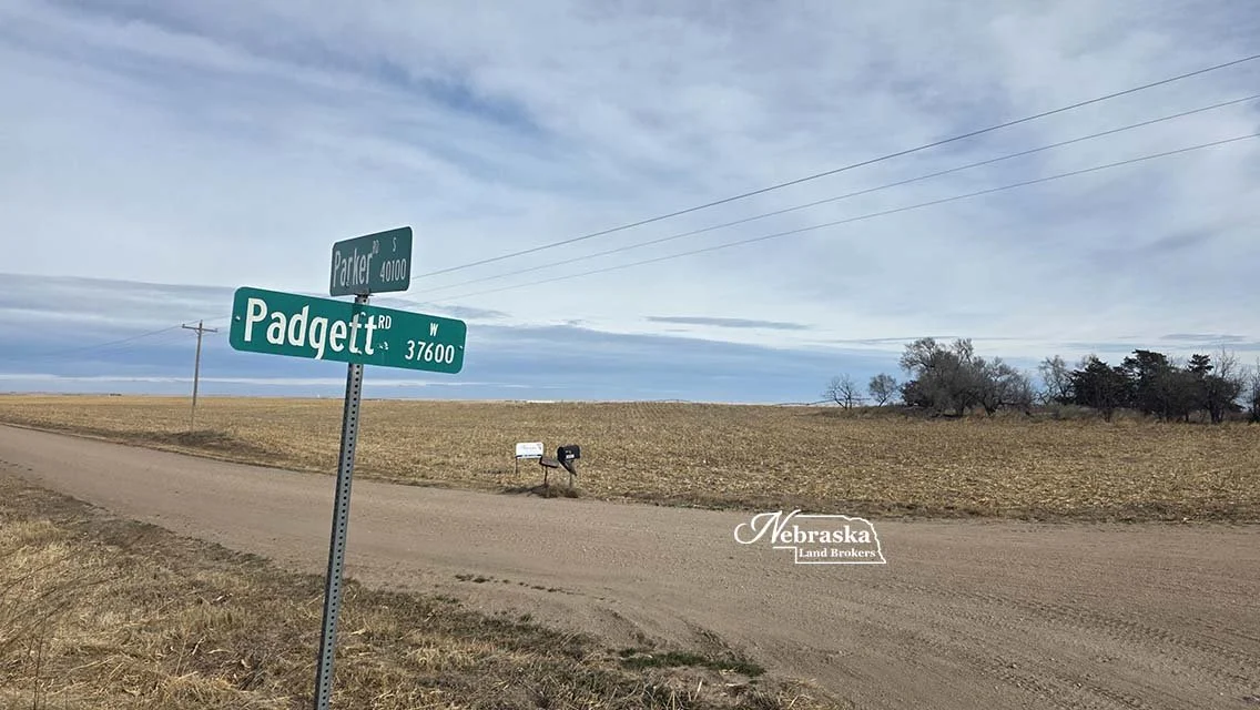


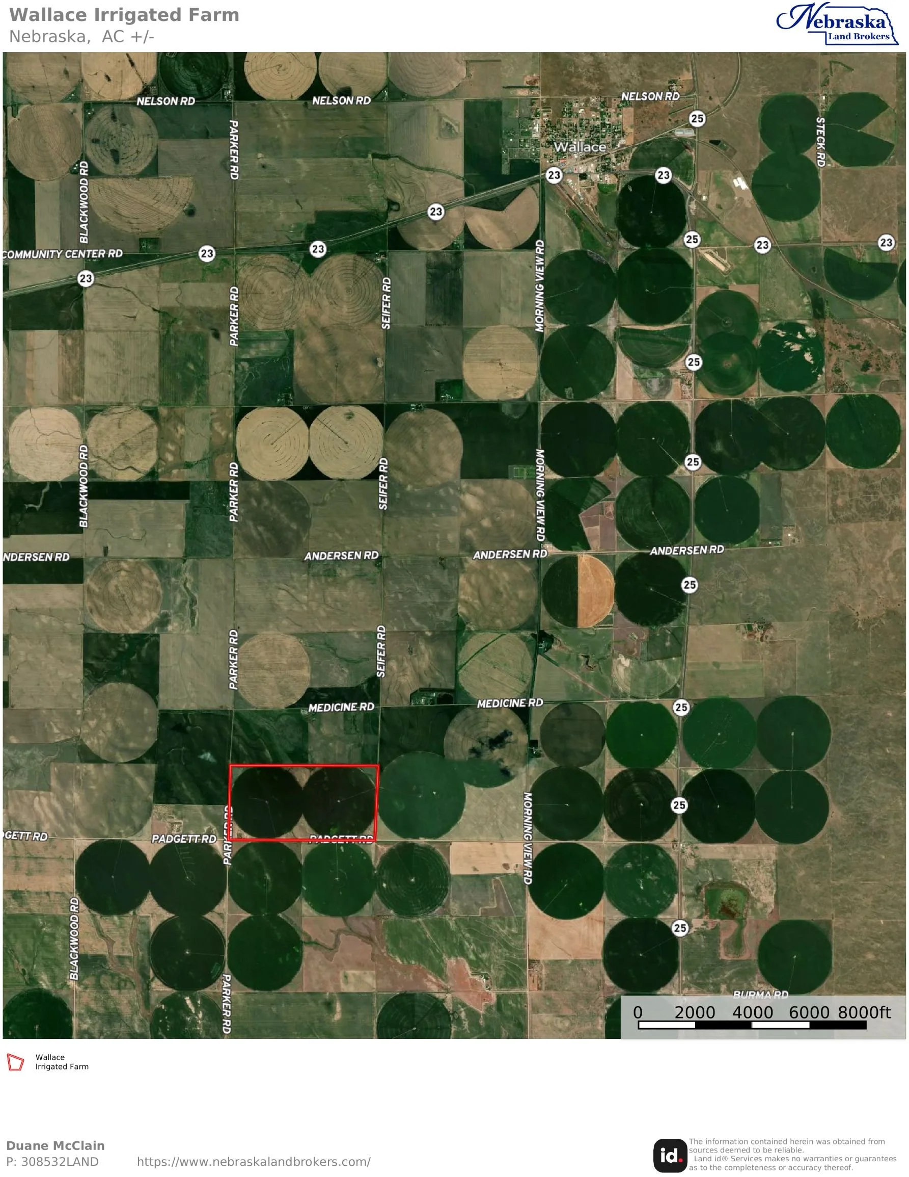
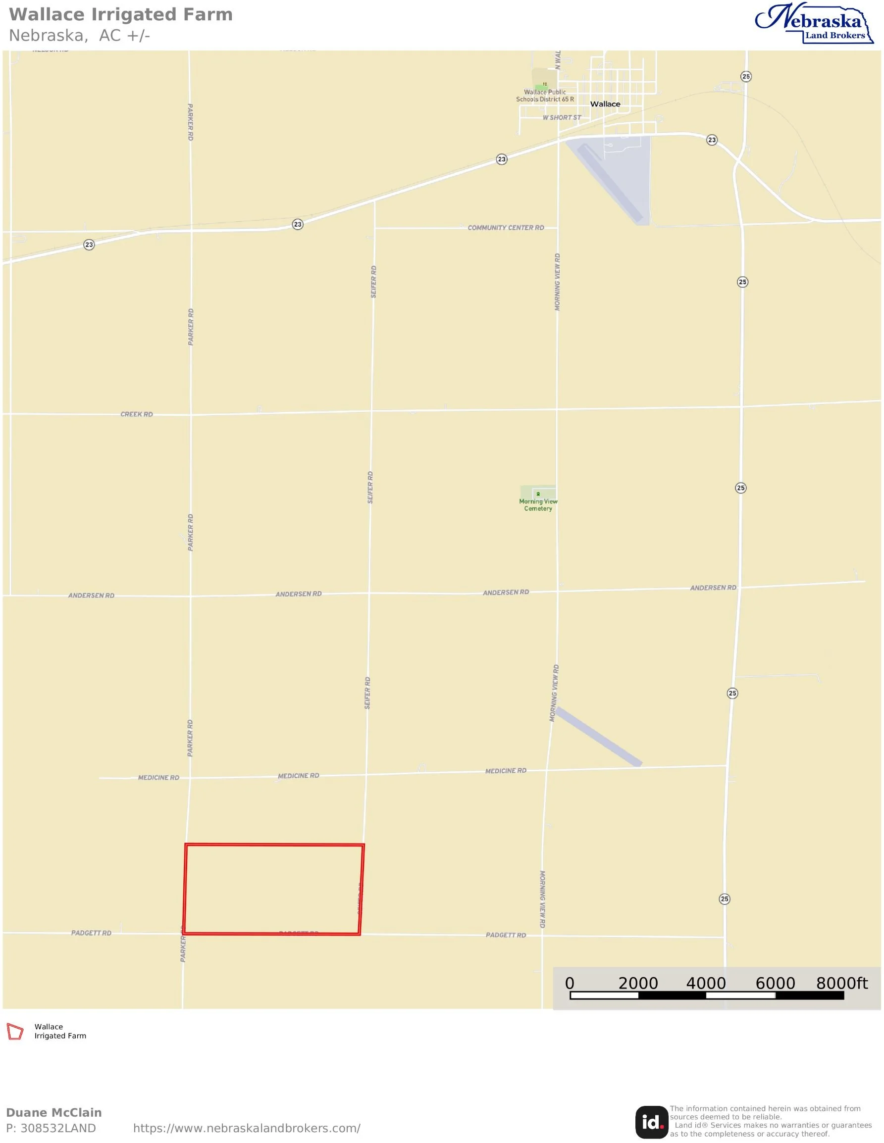
An opportunity to purchase 2 pivot irrigated quarters located 6 miles south of Wallace, NE on Padgett Road between Seifer and Parker Roads.
Highlights of the farm include:
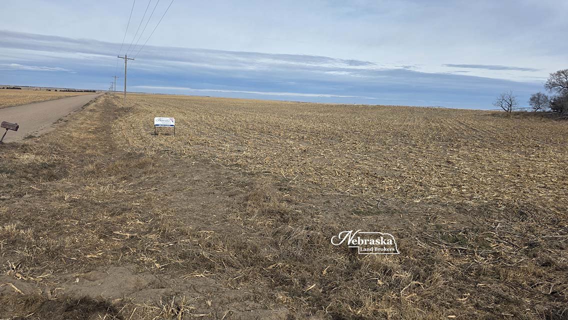
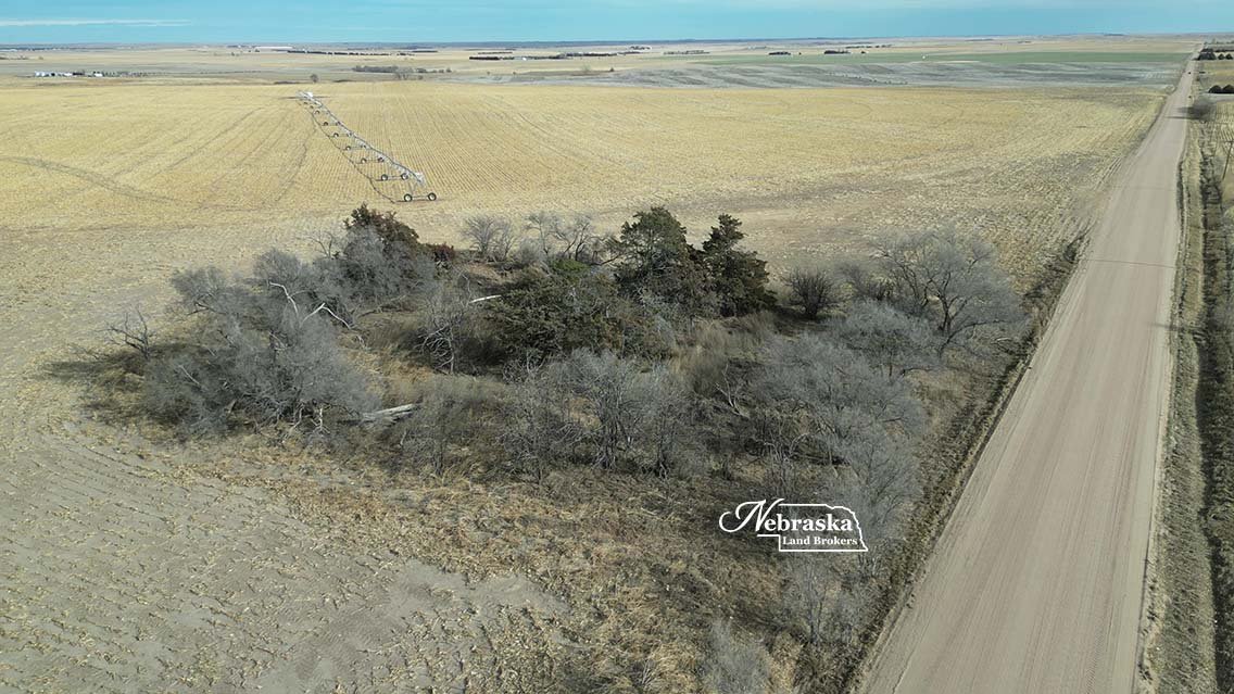
Very good county gravel road access
320+/- taxed ASSESSED acres
254.6 Middle Republican NRD certified irrigated acres
Electric powered irrigation pumping systems
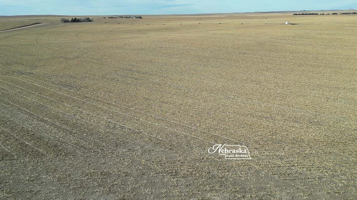
Good productive soils
Strong tenants in area for investor Buyer
Multiple commodity marketing opportunities
Possession for 2026 Planting season
PRICE: $2,200,000.00 SOLD & CLOSED 2026.04.21
This opportunity is located south of Wallace, NE in southwestern Lincoln County in an area of quality pivot irrigated farms. Good county road access and productive soils make this farm something to consider.
Commodity marketing opportunities in the region include an delivery point at Grainton and Wallace, ethanol production plants at Madrid and Trenton and 4 large cattle feeding facilities with a total capacity of over 200,000 head.
Possession of the farm is available for the 2026 planting season or for the investor the past tenant would lease the farm back from an investor.
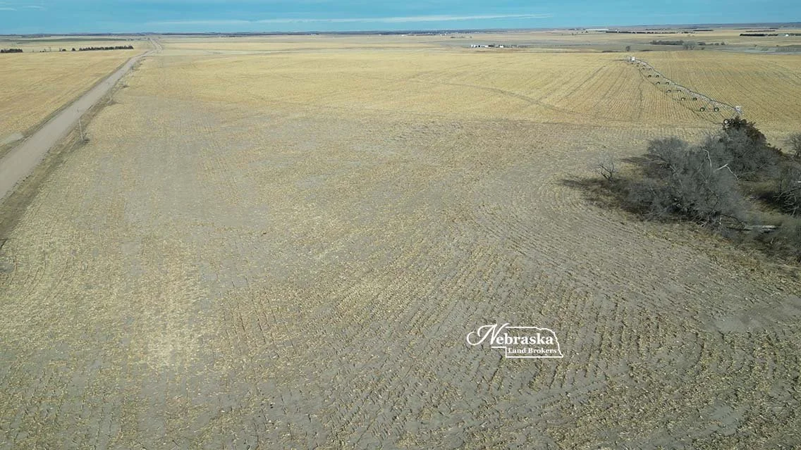
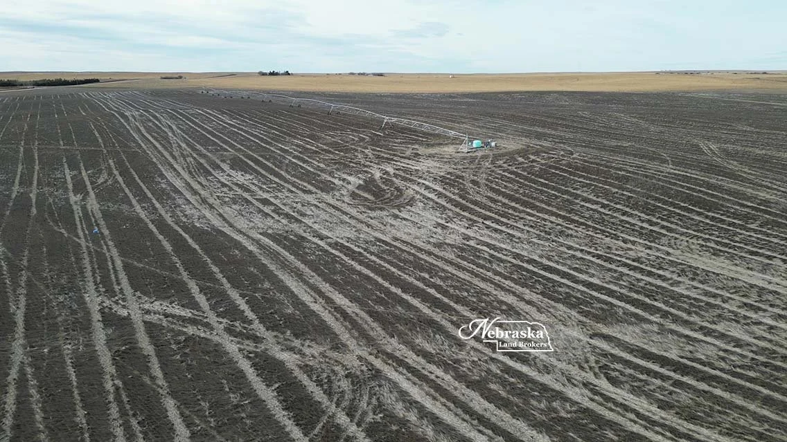
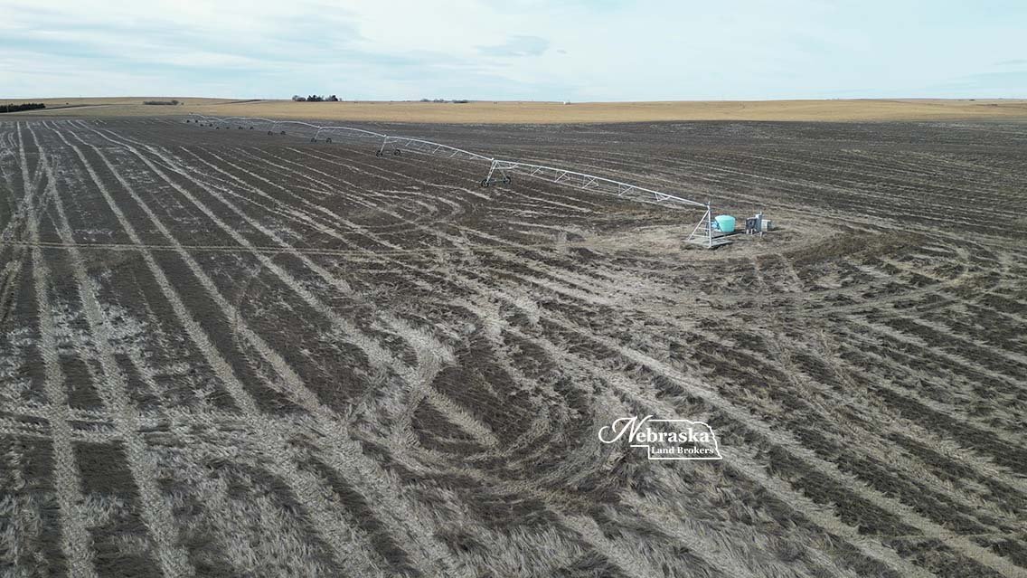
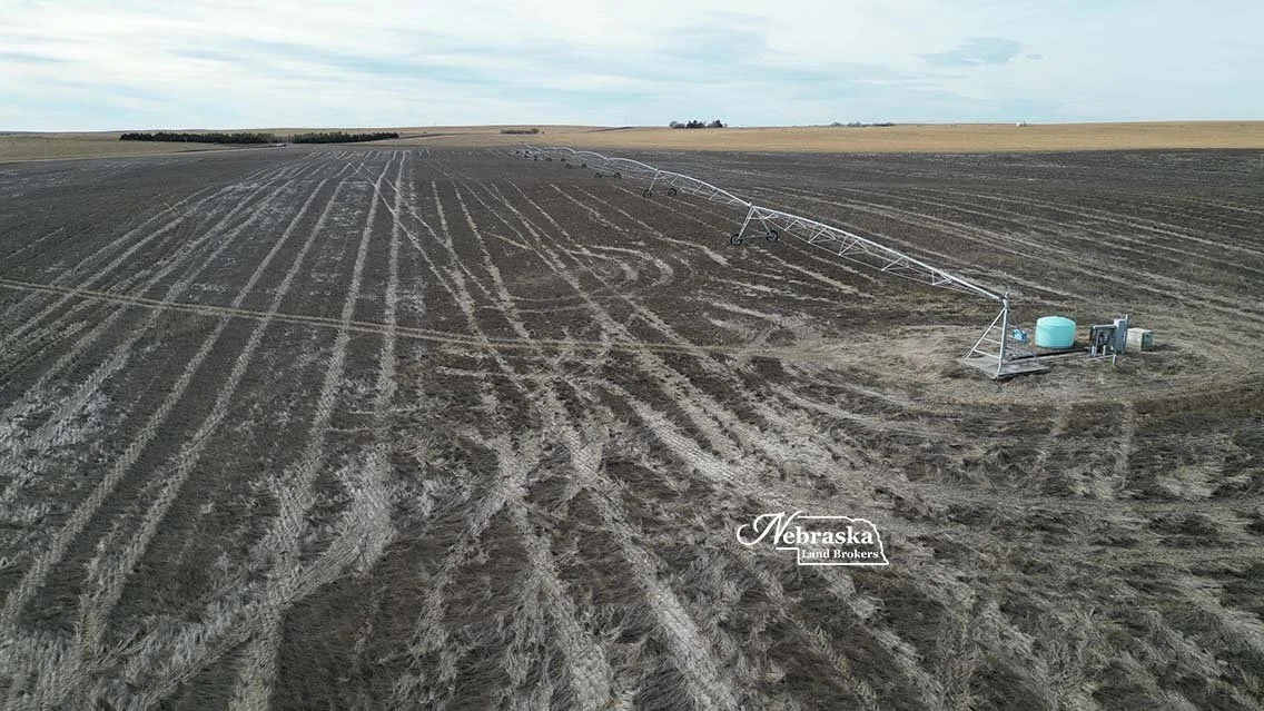
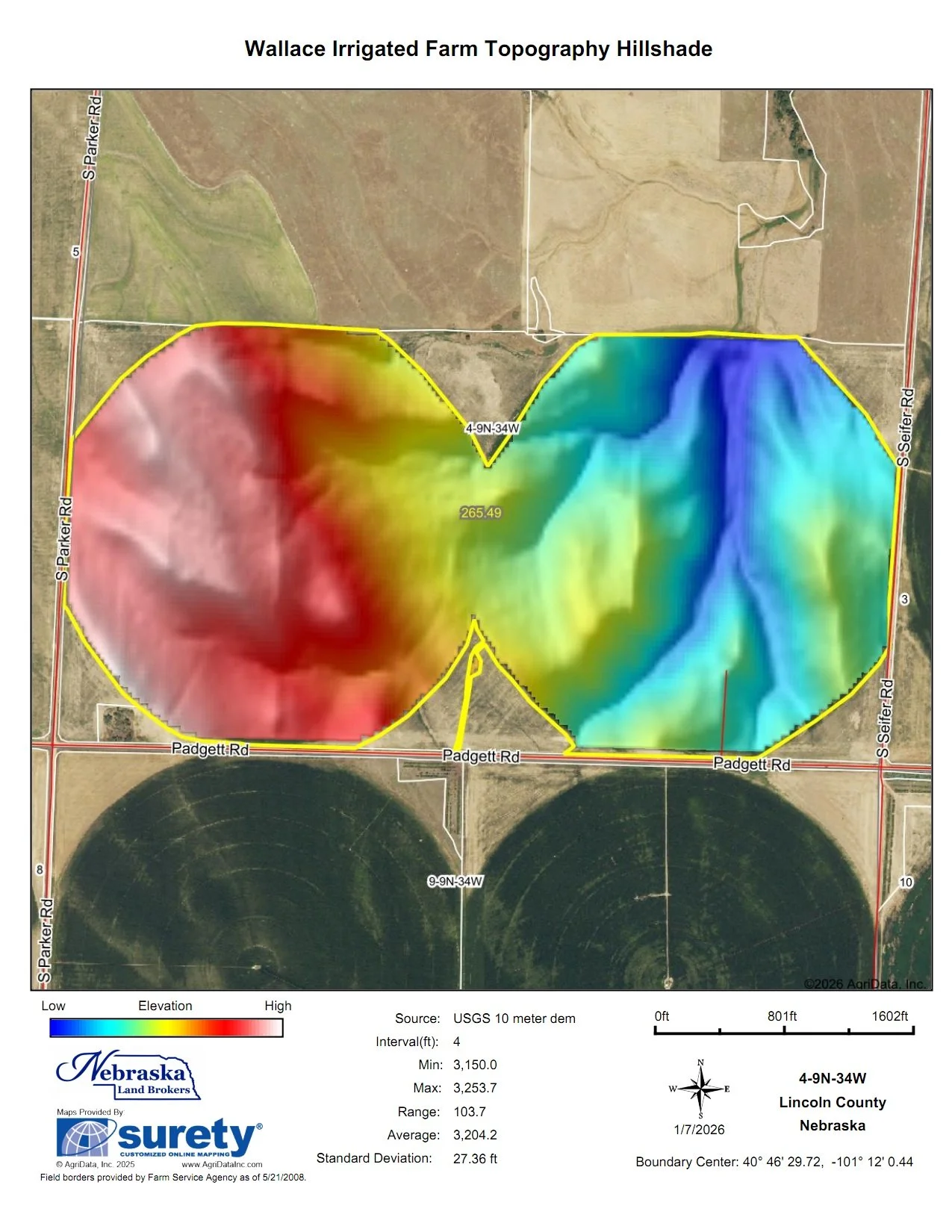
IRRIGATION EQUIPMENT AND SOILS
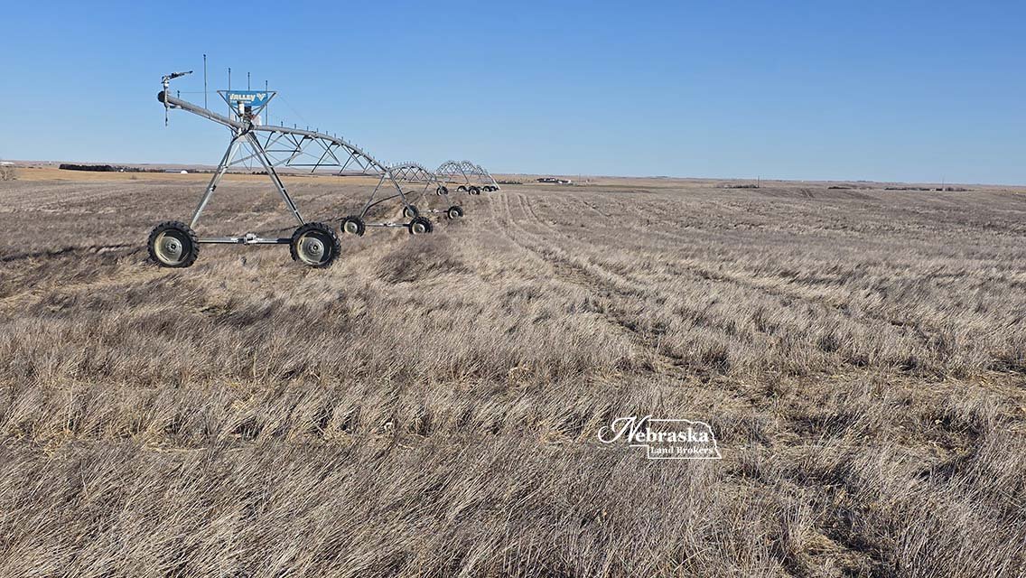
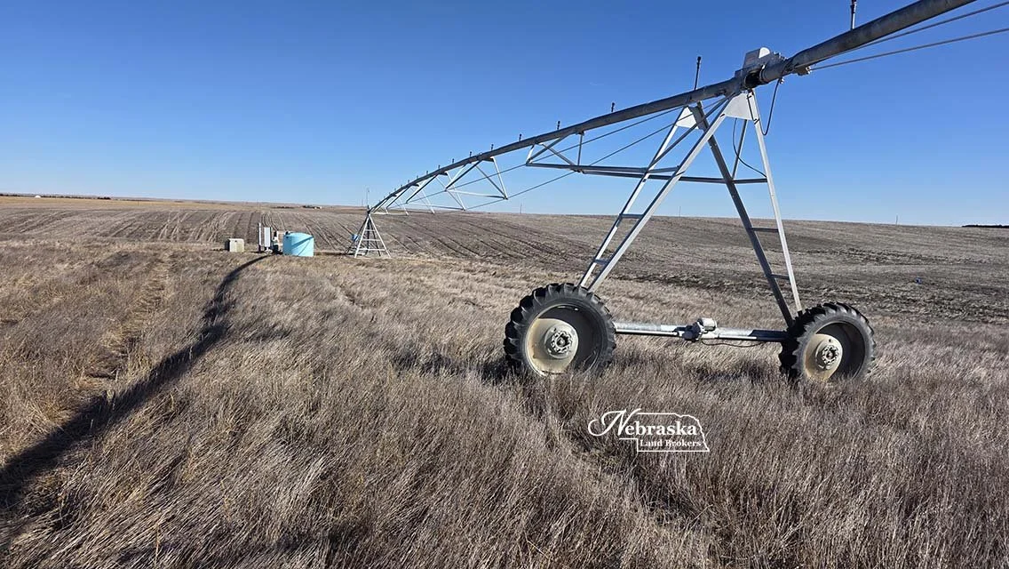
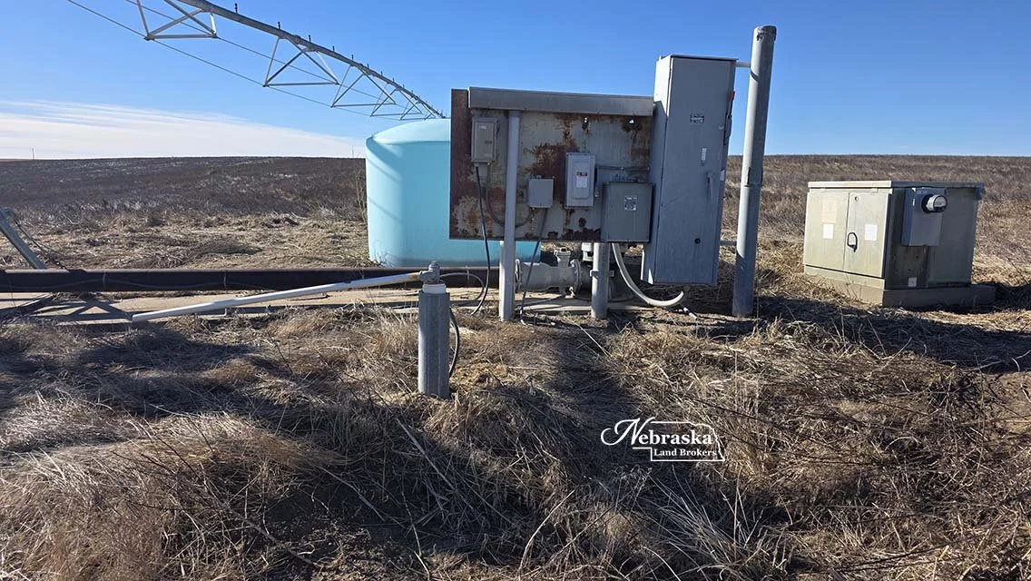
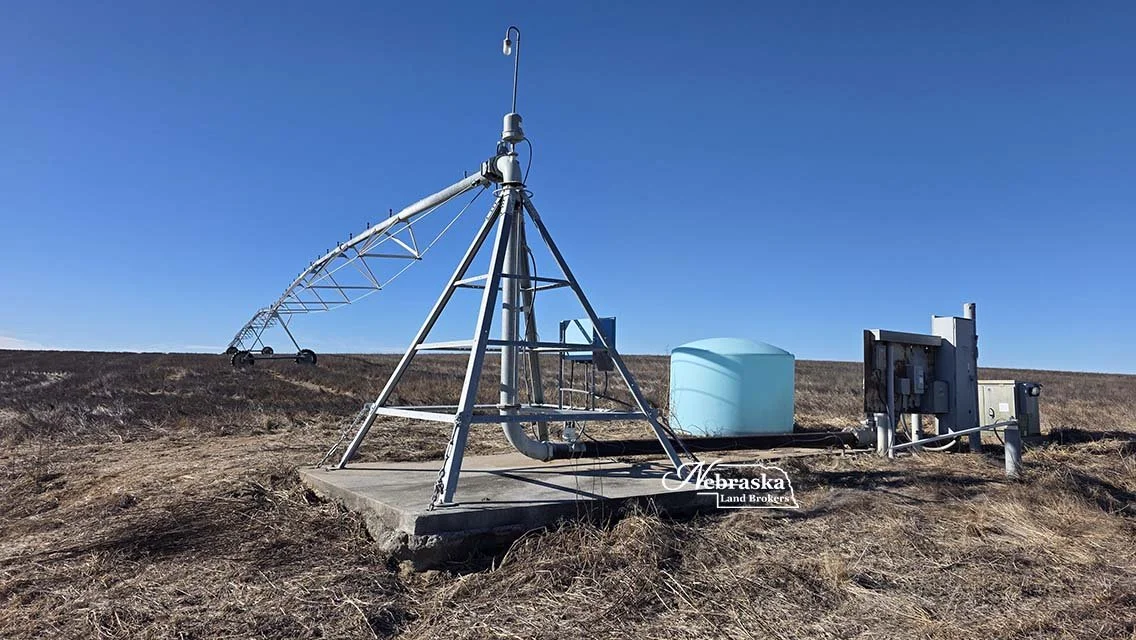
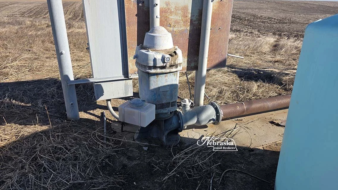
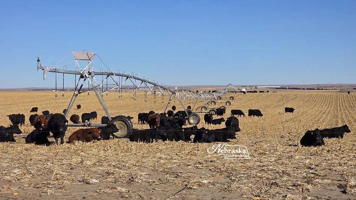
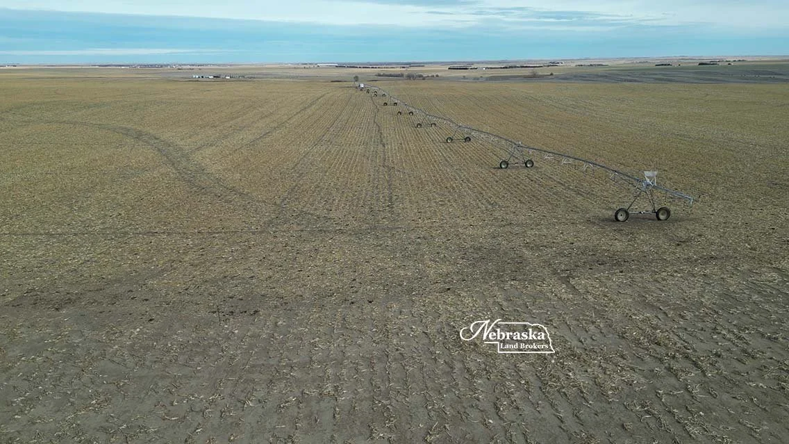
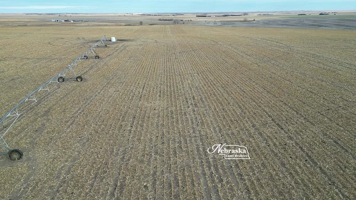
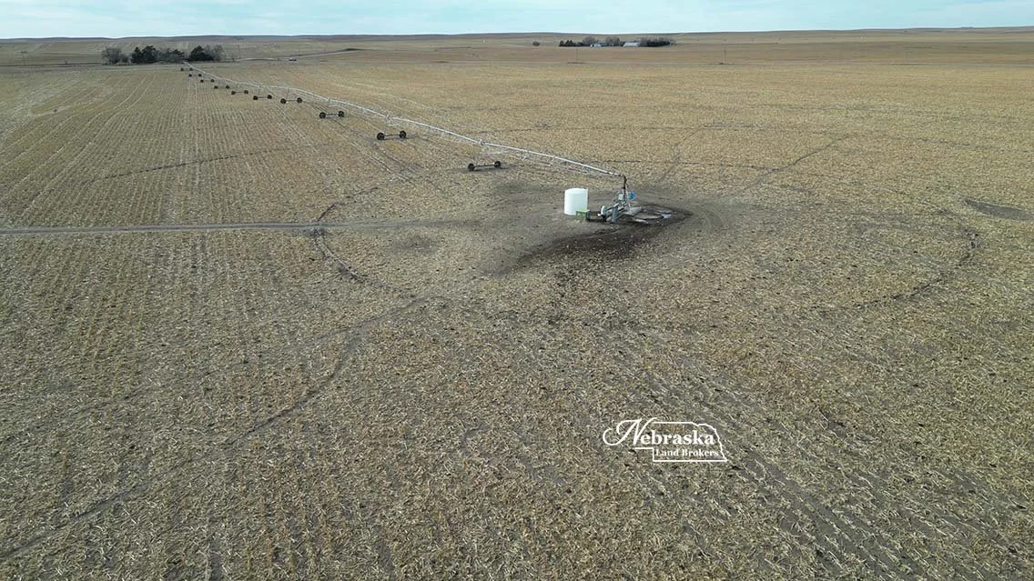
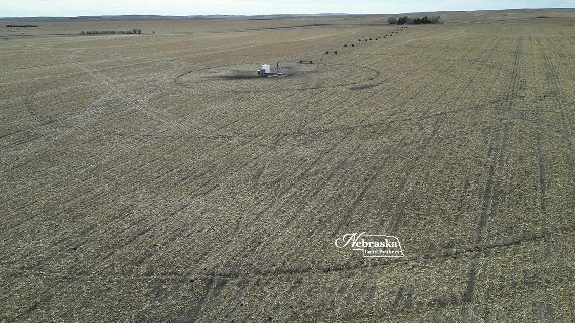
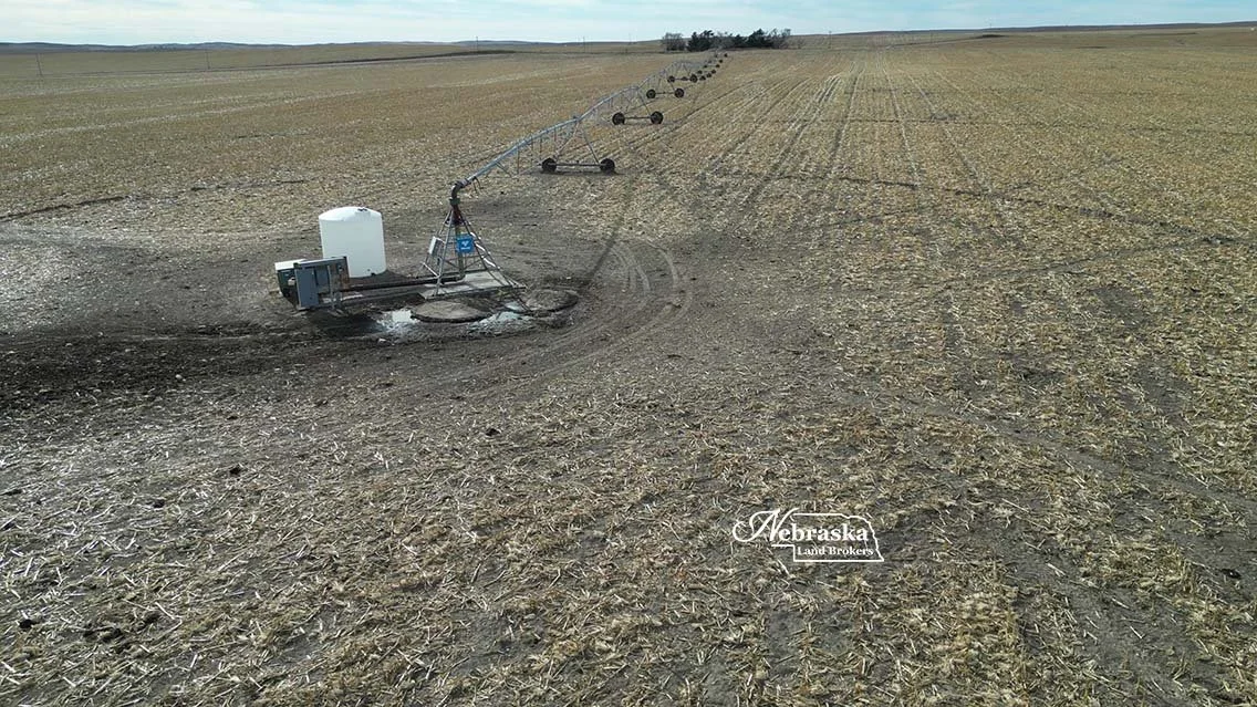
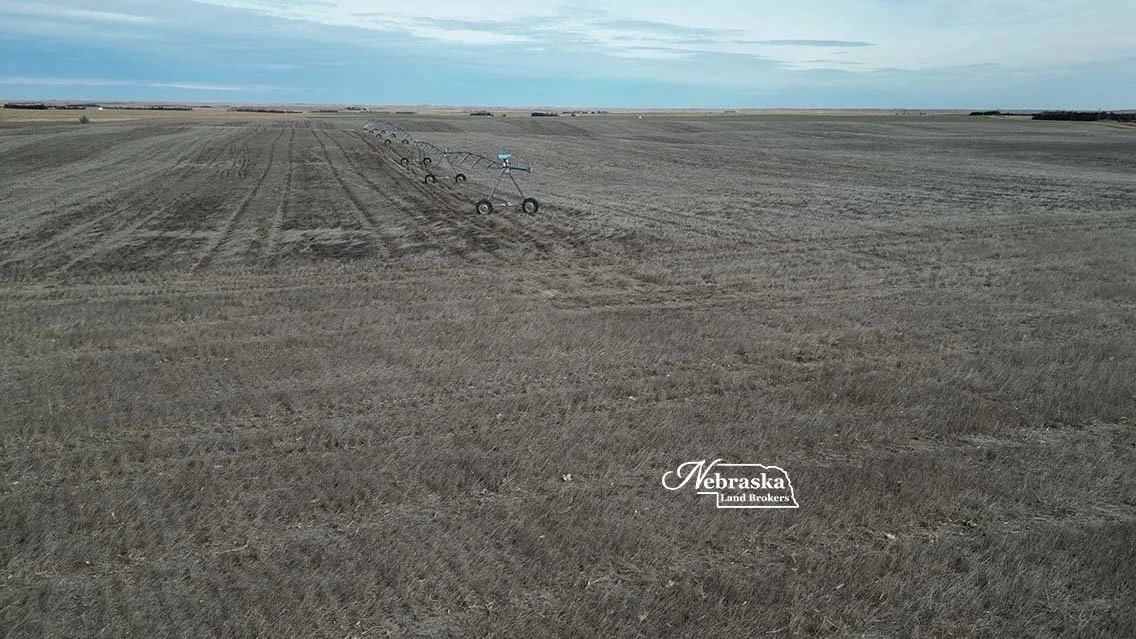
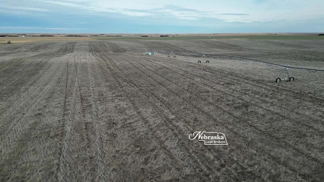
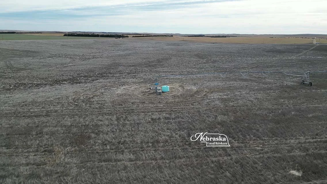
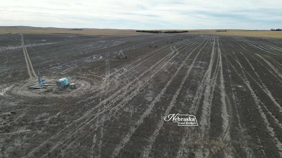
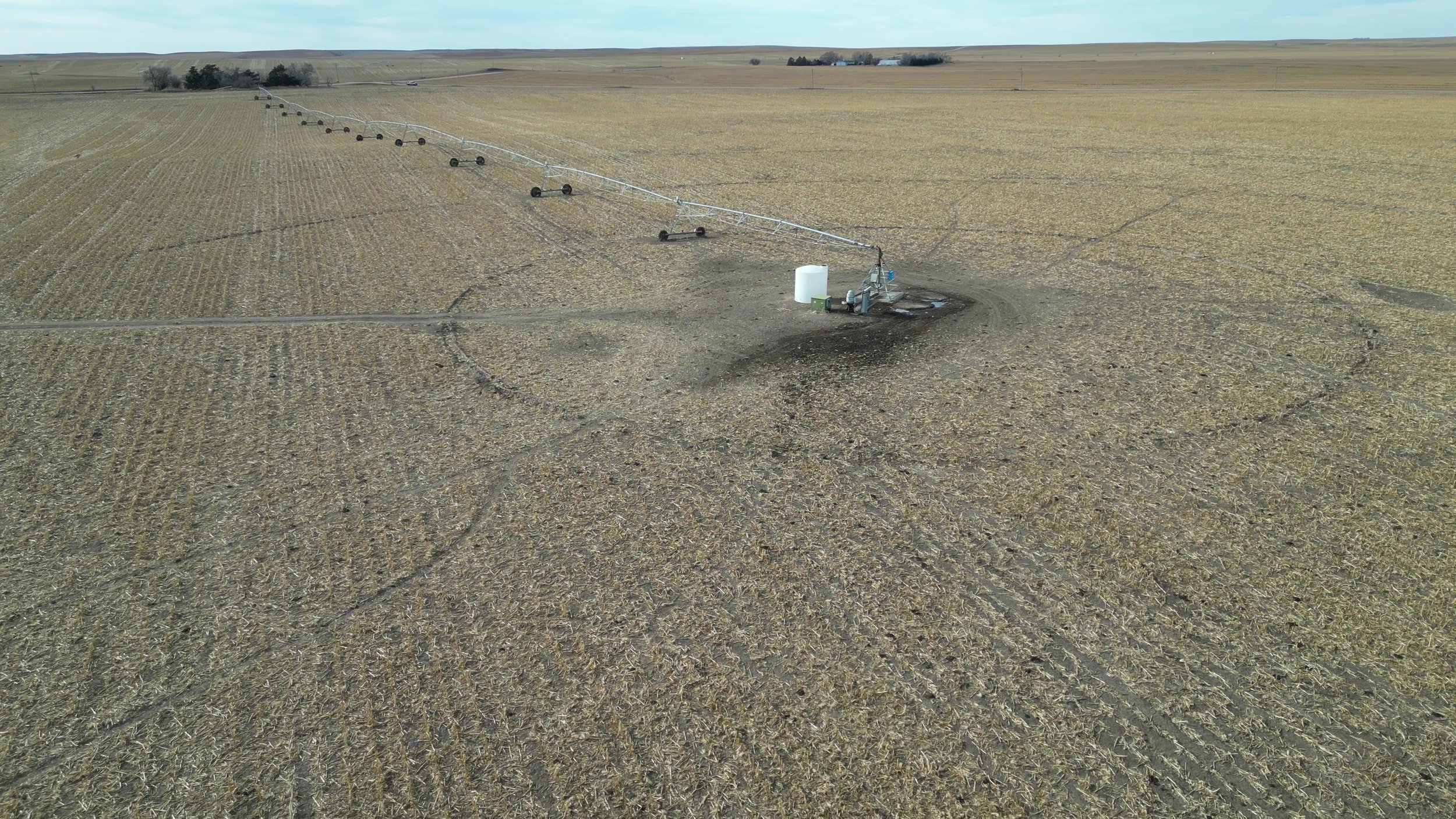
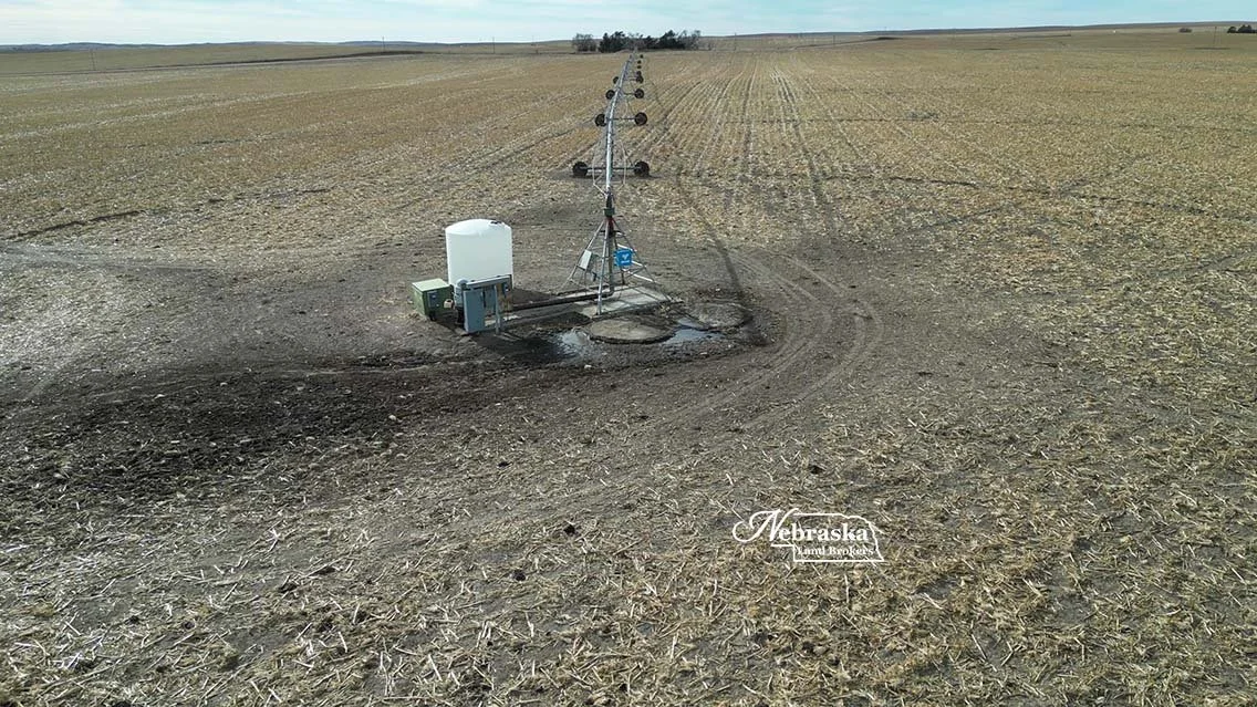
The east pivot irrigation system is a modern (8) tower Valley center pivot watering 128.7 certified irrigated acres, a 125 hp US Electric motor and Western Land Roller irrigation pump.
Registered NE Irrigation well G-048225 with 128.7 Middle Republican NRD certified irrigated acres was drilled in 1975 to 530’, static water at drilling was 131’ and pumping from 180’
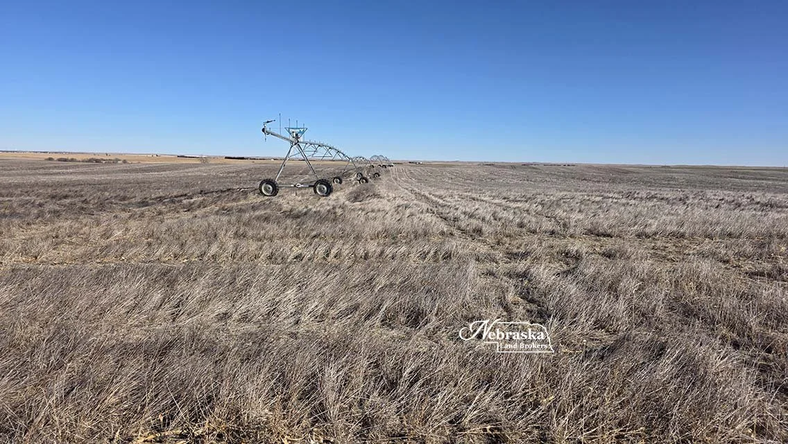
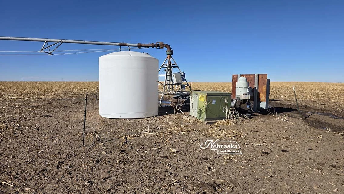
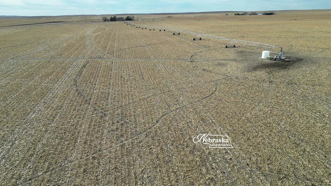
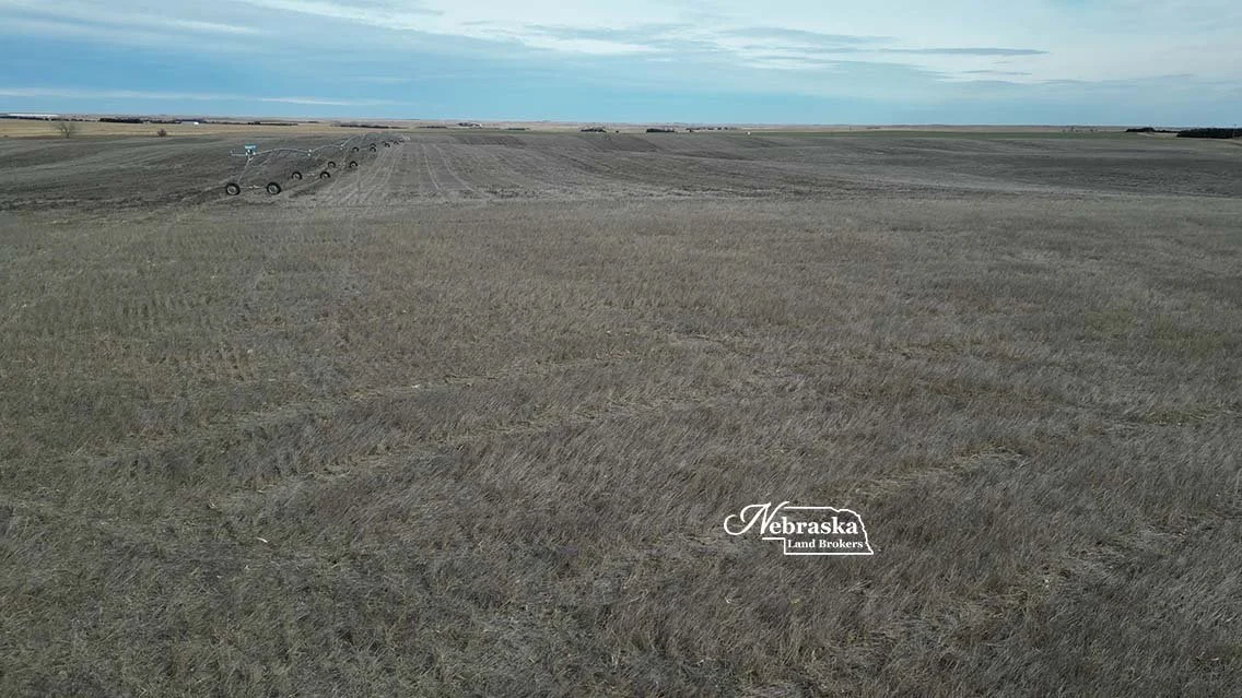
The west pivot irrigation system is an older (10) tower Zimmatic center pivot with an upgraded Valley control box watering 125.9 certified irrigated acres, a 100 hp GE motor and Sargent irrigation pump.
Registered NE Irrigation well G-048224 with 125.9 Middle Republican NRD certified irrigated acres was drilled in 1975 to 570’, static water at drilling was 185’ and pumping from 222’
These irrigation wells are currently pooled with other irrigation wells owned by the Seller. At listing time the exact inches of irrigation available for the last two years of the NRD allocation period are unavailable. We do know that at the beginning of the 2025 season there were 45.7” available. In 2025, 12.61” were pumped from the west well and 3.04” were pumped from the east well. As soon as possible this information will be updated.
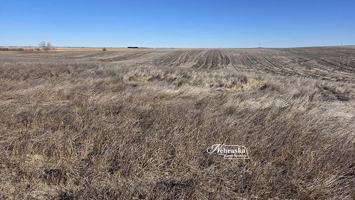
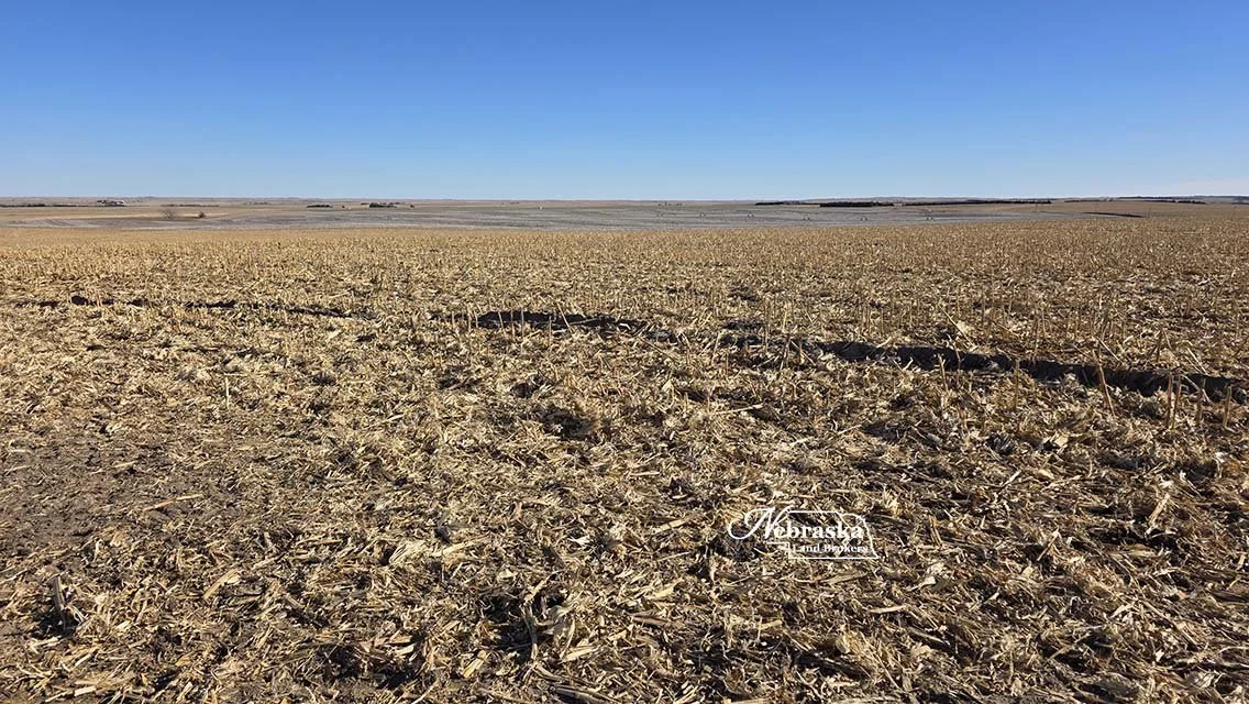
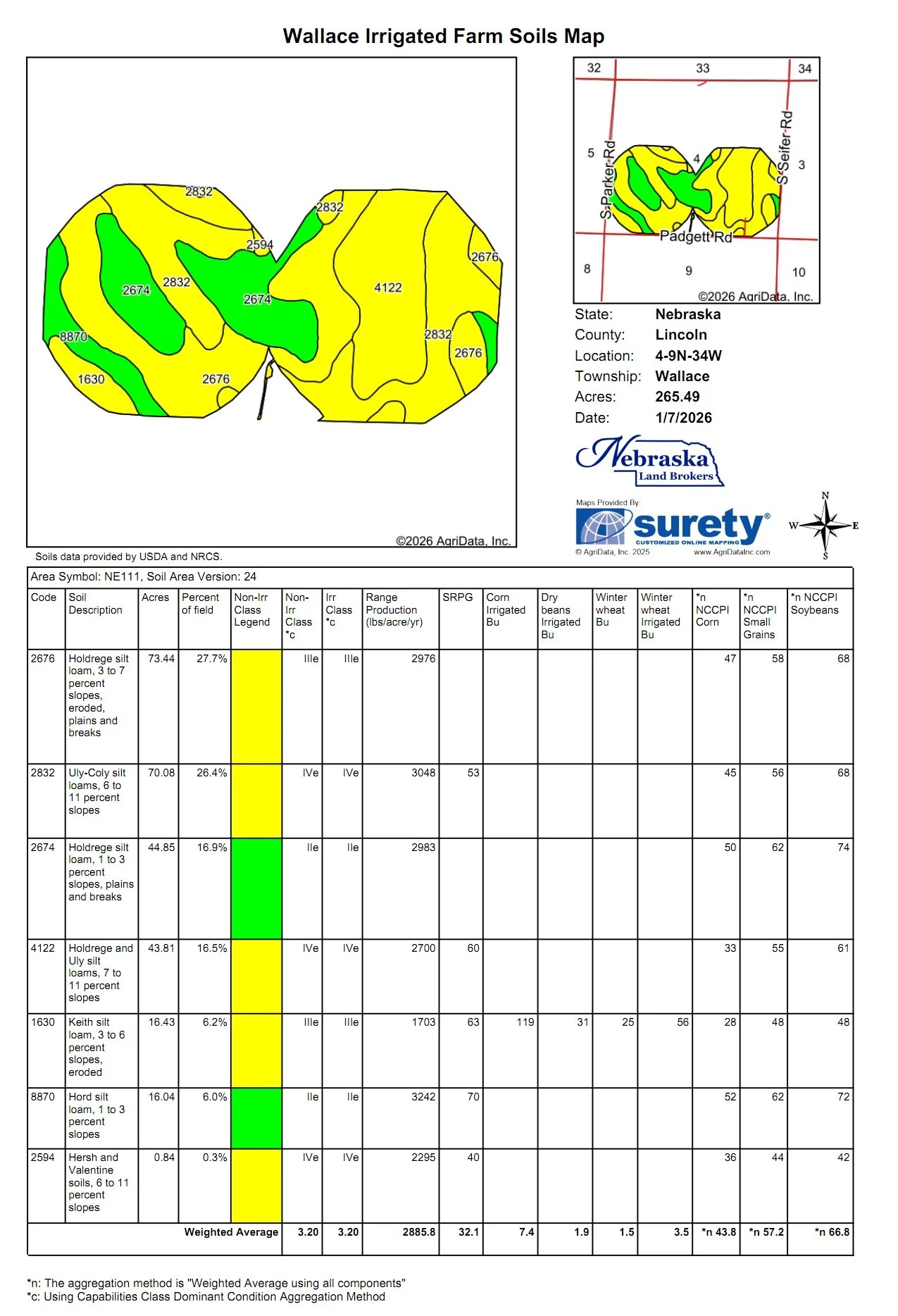
Soils under the pivot are 42.9% Class IV Uly-Coly and Hersh silt loams with 6 0 11% slopes and 33.9% Class III Holdrege & Keith silt loams with 3-6% slopes and 22.9% Class II Holdrege and Hord silt loams with 1 - 3% slopes.
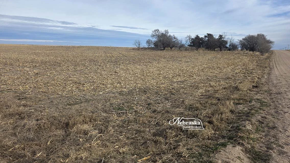
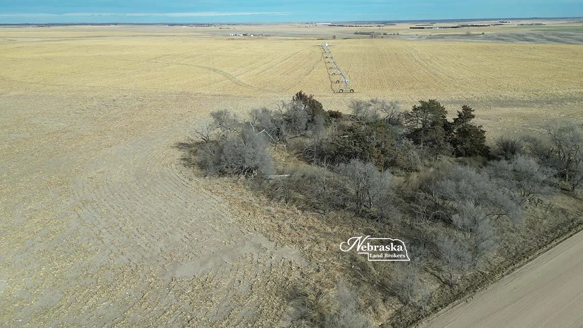
Additionally, there is a cased well at the pivot point of the east pivot for stalk grazing. The submersible pump in the well does belong to the stalk grazing tenant and will be removed. All of the pivot corners of the farm are tillable non-irrigated cropland. There is an old site with trees in the southwest corner.
MIDDLE REPUBLICAN NATURAL RESOURCES DISTRICT
Irrigation Water Management
Wallace Pivot Irrigated Farm is located in the Middle Republican Natural Recourses District (MRNRD) which is responsible for the ground water management in the region. There is a limit to the amount of irrigation water that can be pumped that is set by the MRNRD. The current pumping restriction period is Jan 1, 2023 - Dec 31, 2027.
The irrigation wells on Wallace Pivot Irrigated Farm are pooled together with other wells owned by the Seller for MRNRD management. They began the current period with 65 allocated inches to be pumped in the 5 year period. At the beginning of the 2025 growing season (the third year of the 5) there was 45.7 inches left in the pool for the last 3 years of the allocation period.
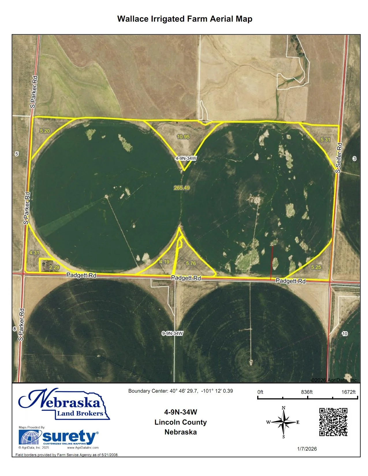
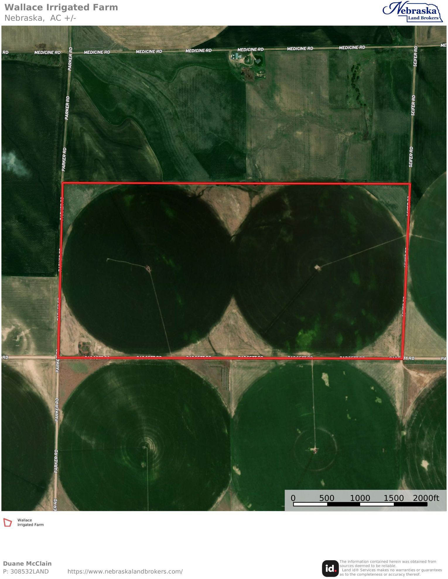
ACRES: 320+/- tax accessed acres
LOCATION: Farm is located 6 miles south of Wallace, NE in southwestern Lincoln County on Padgett Road between Seifer and Parker Roads.
LEGAL DESCRIPTION: Township 9 North – Range 34 West of the 6th P.M., Lincoln County, Nebraska
Section 4: S1/2
FSA BASE INFORMATION: Coming Soon….
REAL ESTATE TAXES: 2025 taxes payable in 2026 are $8,698.20
Middle Republican NRD OCCUPATION TAXES: $2,546.00
AERIAL PROPERTY & INFORMATIONAL MAPS
Click on an image to view at full size.