Located 10 miles north of Gothenburg NE in southwestern Custer County on 414 Road, this is 4 miles east of Highway 47.
FARM Highlights include:
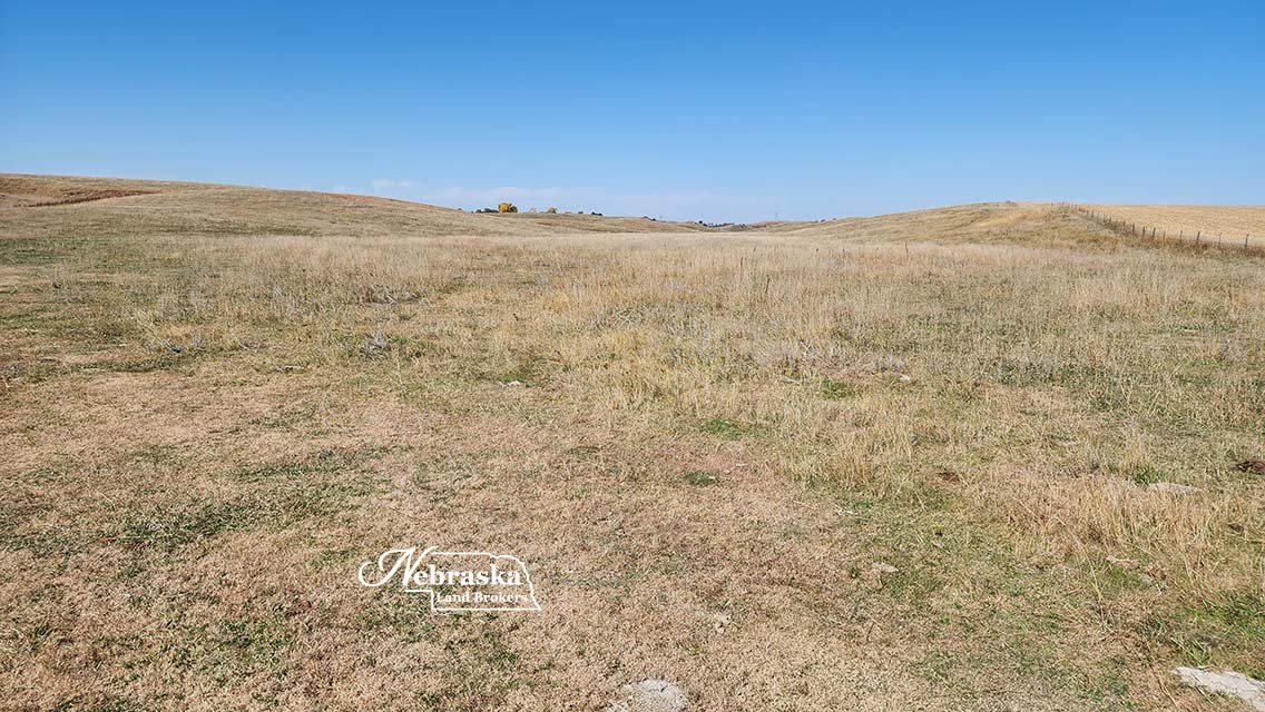
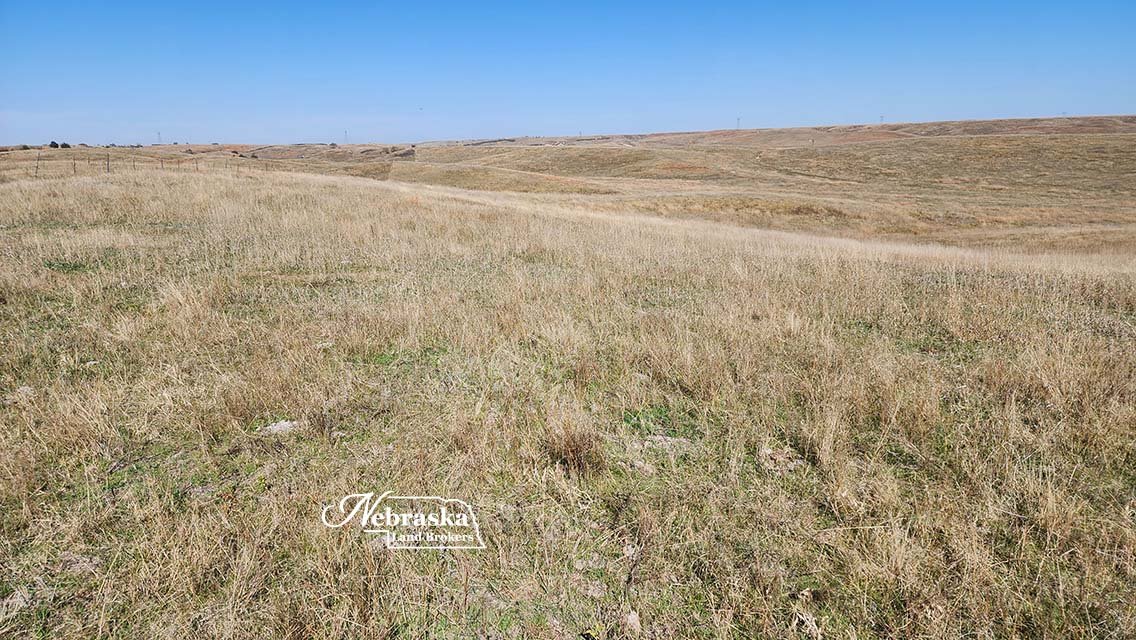
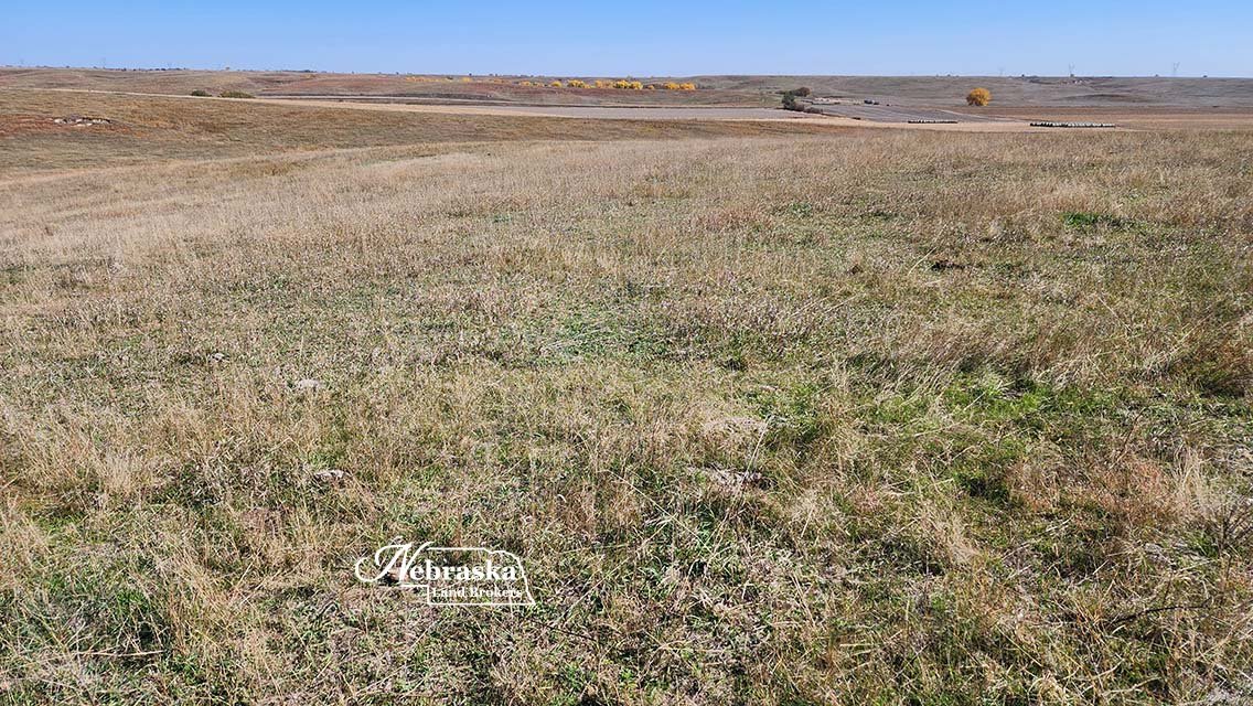
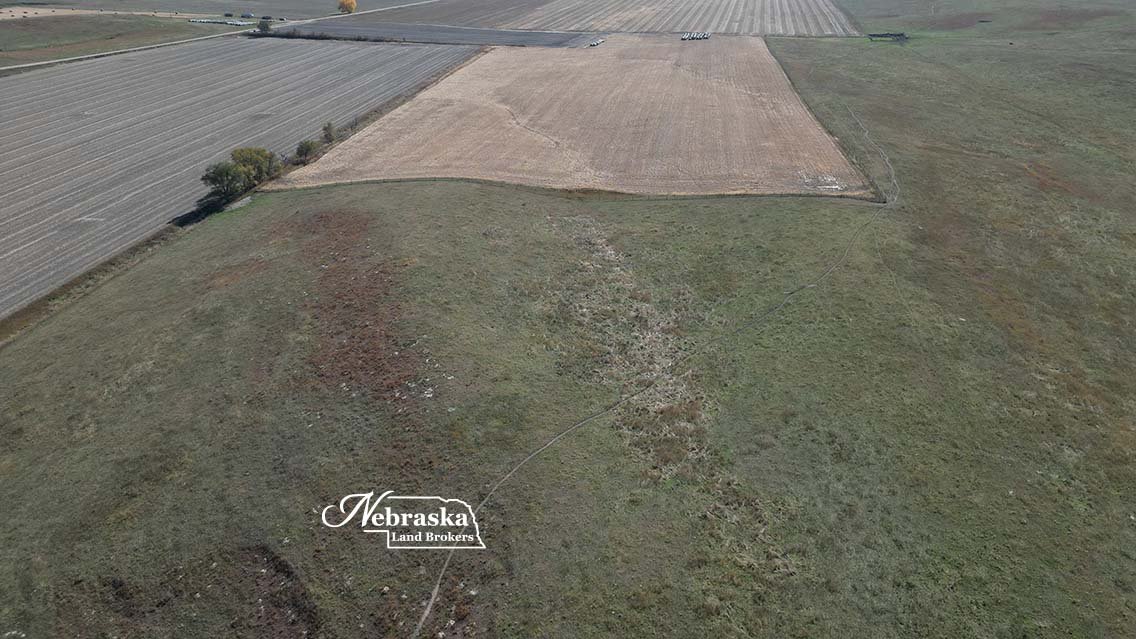
137 acres fenced pasture
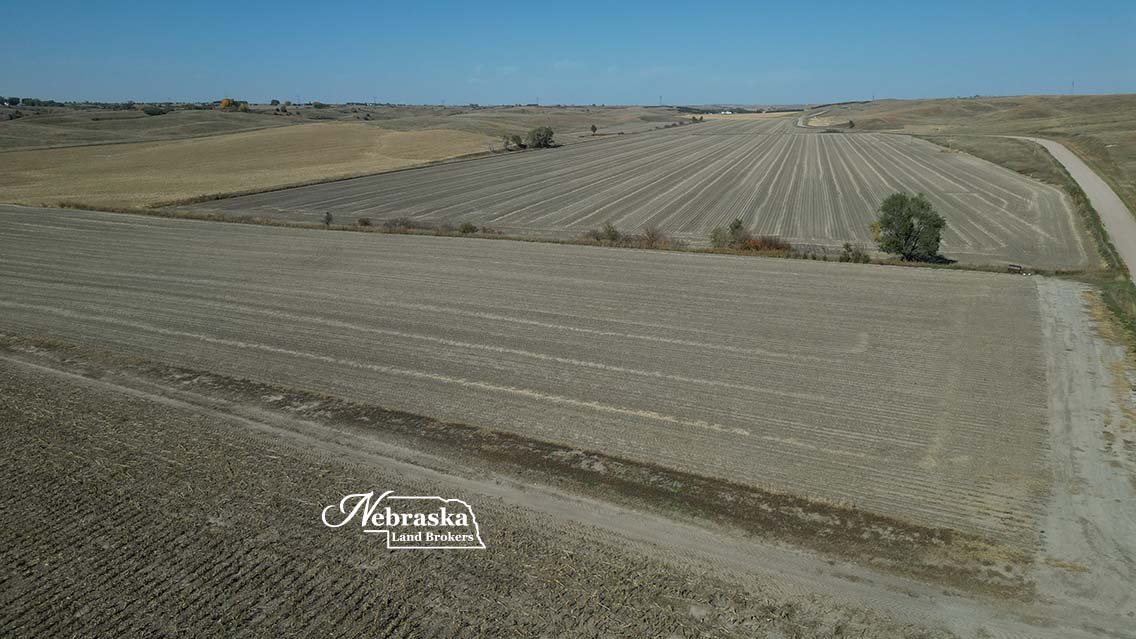
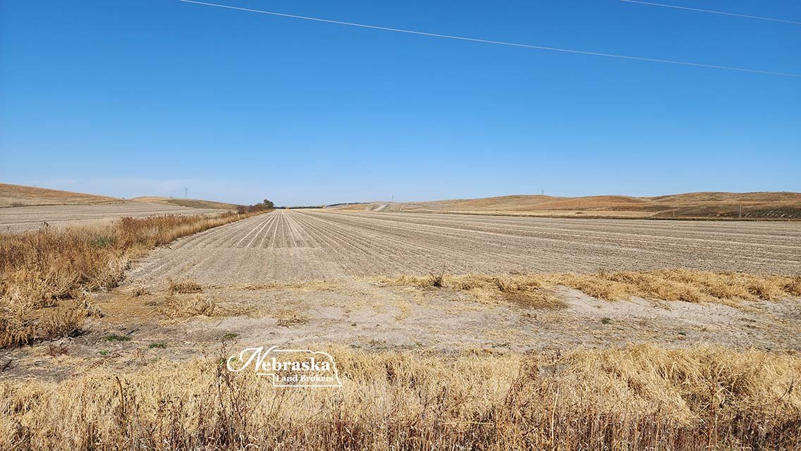
79.25 acres gravity irrigated cropland
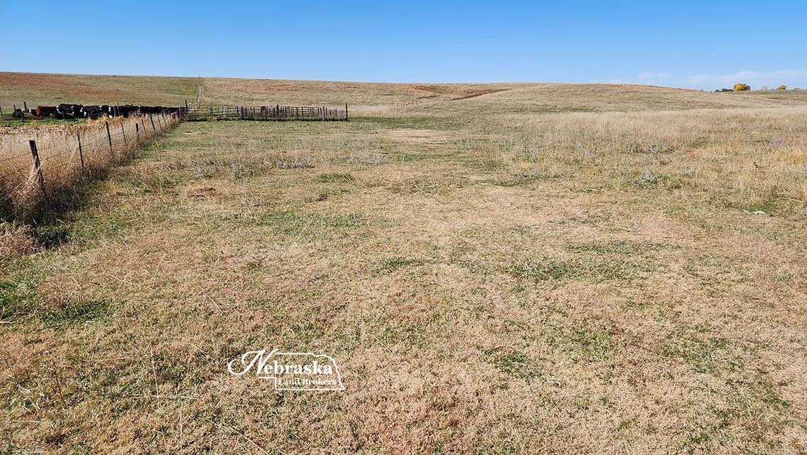
57 acres unfenced pasture / Potential BUILDING SITE
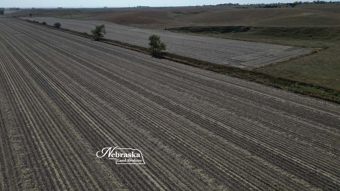
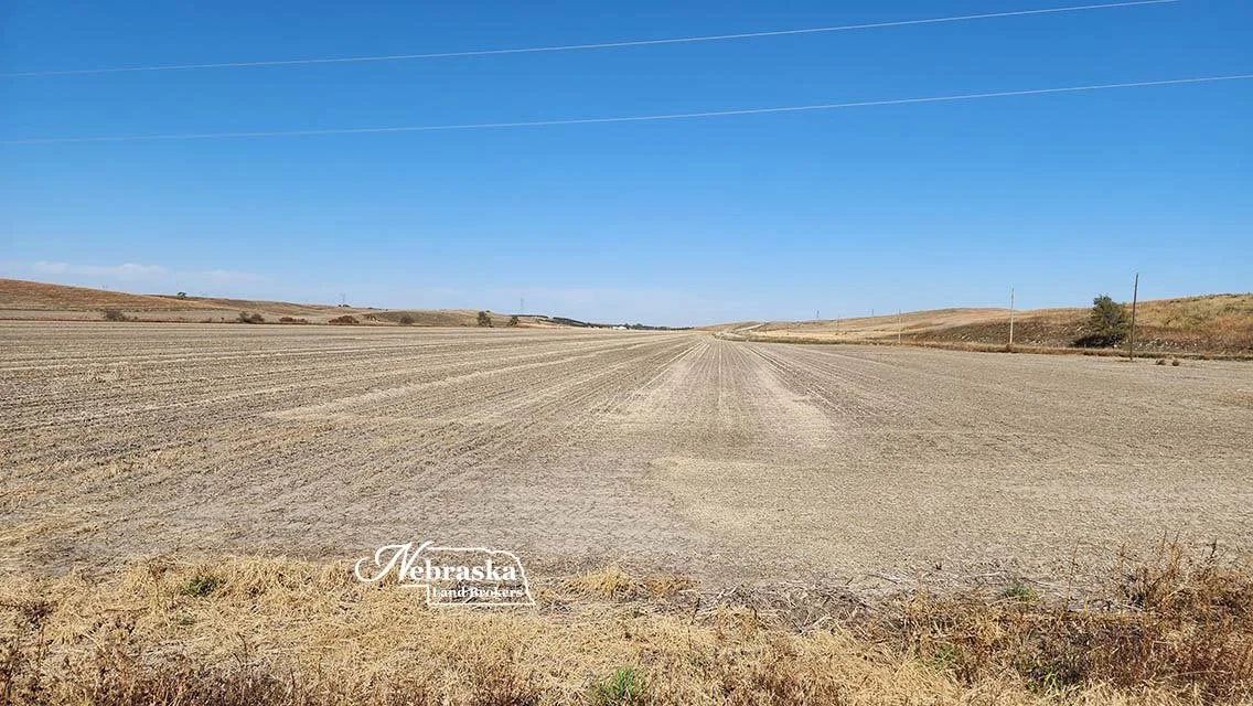
31 acres of non-irrigated cropland
Strong tenants in area for investor
Multiple commodity marketing opportunities
$790,000.00 SOLD & CLOSED 12.28.23
INTERACTIVE AREA MAP
ASKING PRICE: $840,000.00 new combination farm listing
ACRES: 321 taxed acres
LOCATION: Farm is located 10 miles north of Gothenburg in southwestern Custer County on 414 Road. This is 4 miles east of Highway 47.
LEGAL DESCRIPTION: E1/2 Section 25; Township 13 North – Range 25 West of the 6th P.M., Custer County, Nebraska;
FSA BASE INFORMATION: To be determined. Base will be transferred with approval of the FSA County Committee.
REAL ESTATE TAXES: 2022 taxes paid in 2023 were $7,063.

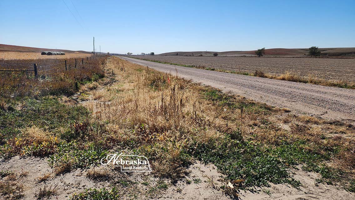
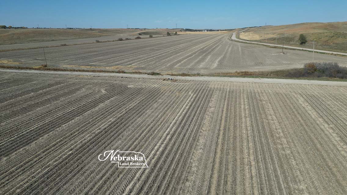
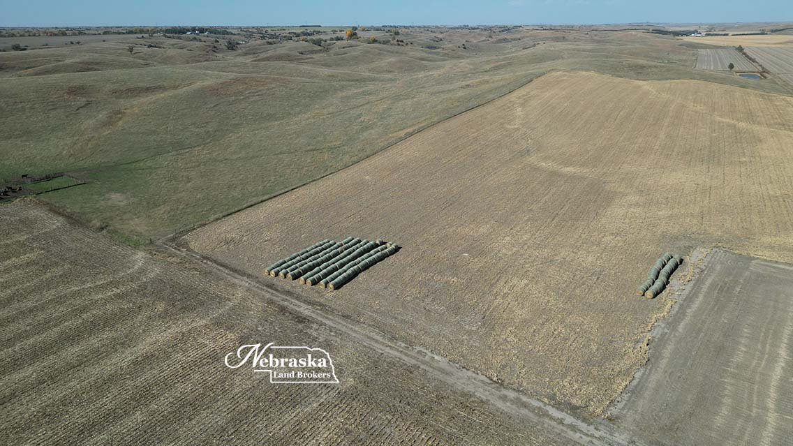
Located in southwest Custer County on 414 Road, this opportunity offers a mix of land uses for the diversified operation.
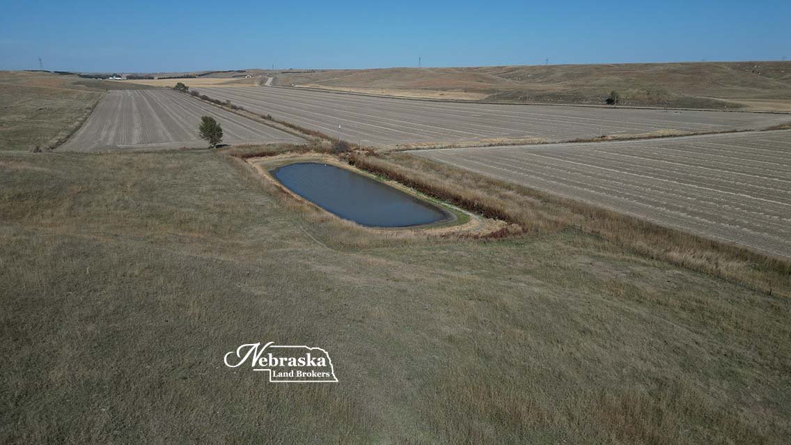
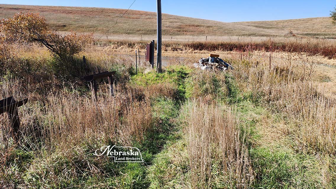
The 137 acres of grass pasture in the west portion has a windmill which is not working. The tenant currently uses their own water source for grazing cattle. The pasture is in good condition.
The 57 acres of pasture on the east side of the road is not fenced on the eastern boundary and has no stock water source. A remedy to the stock water situation could be a new electric submersible well near the road and then a pipeline to each pasture. The east pasture does offer a setting for a future homesite.
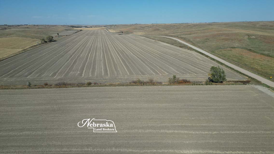
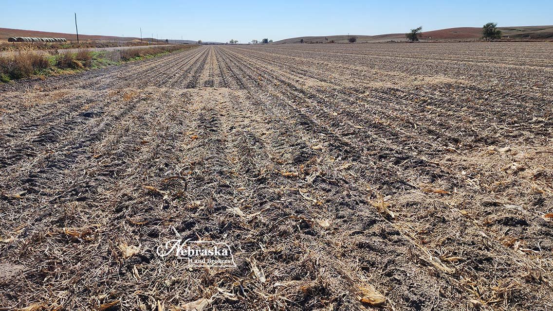
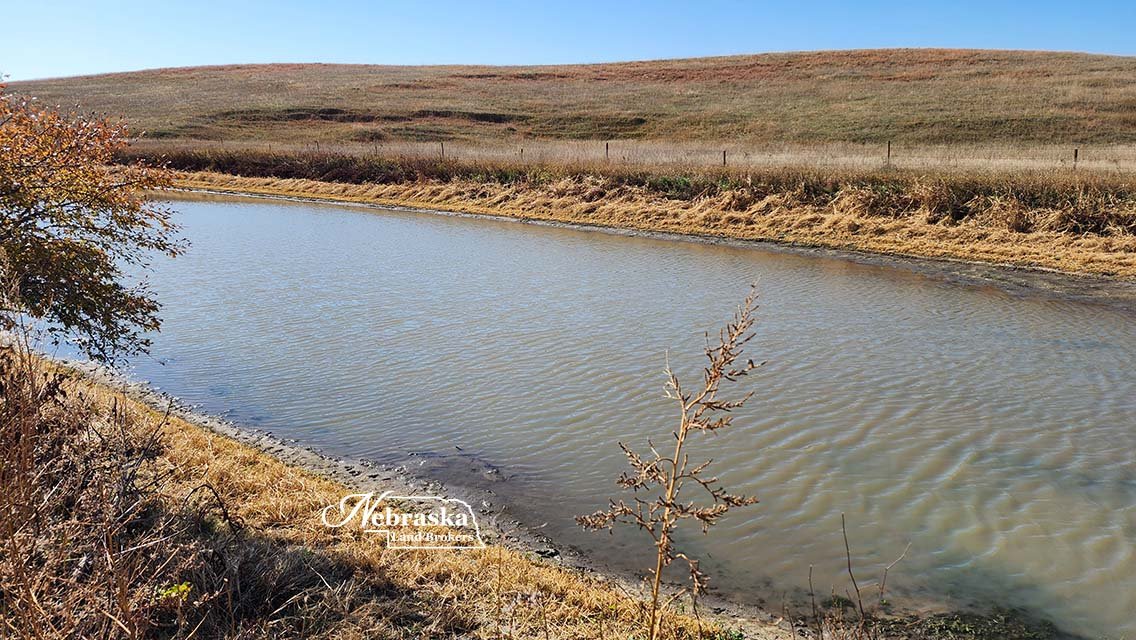
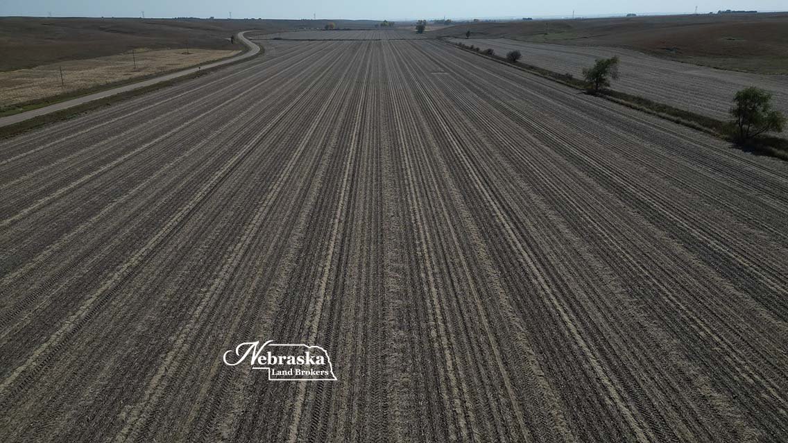
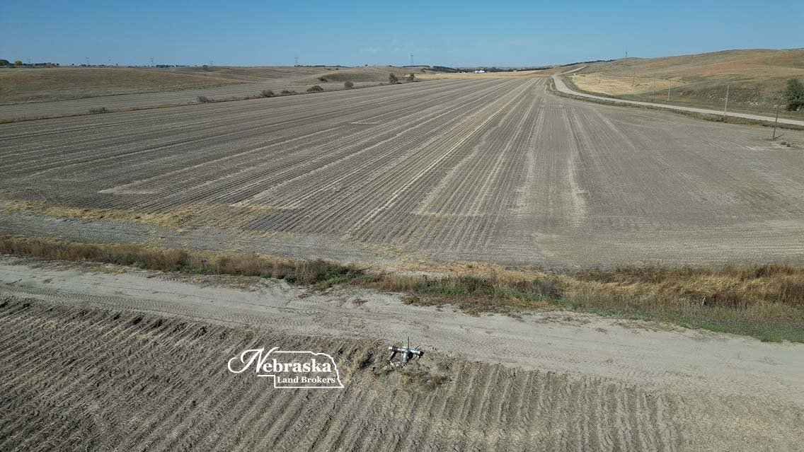
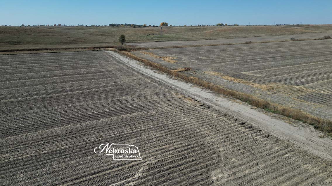
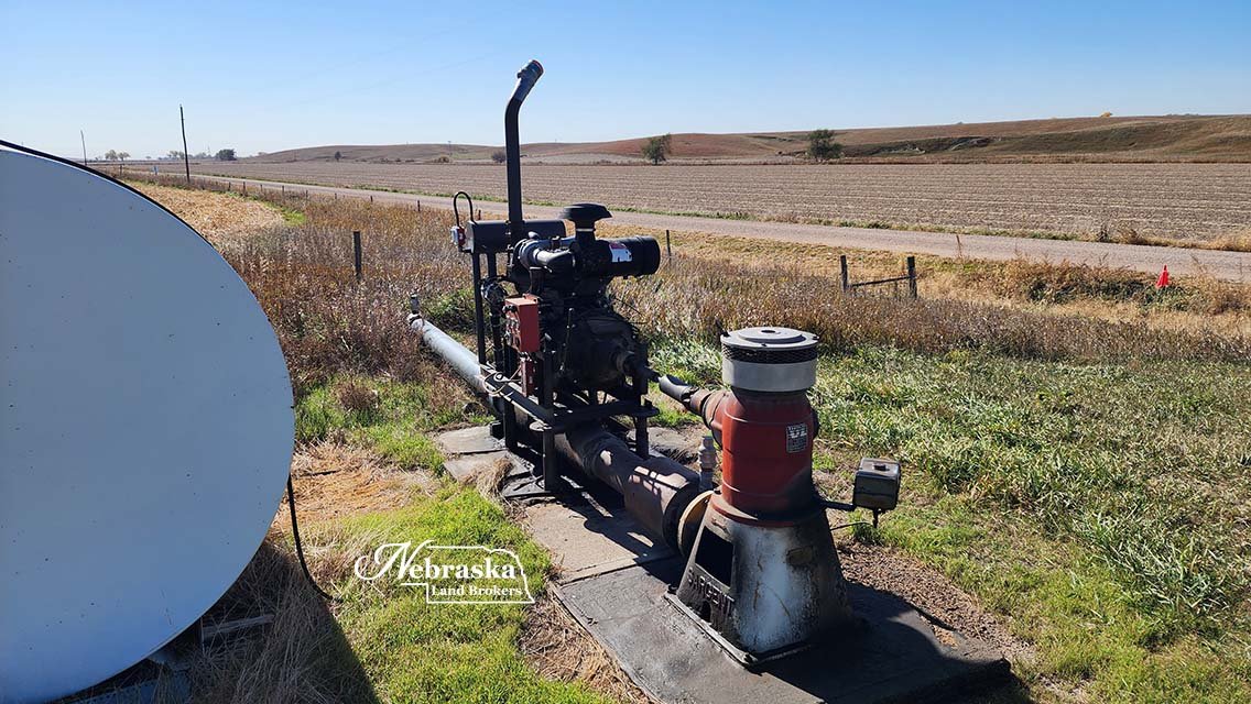
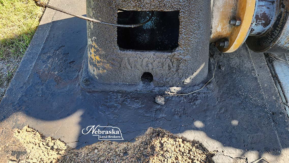
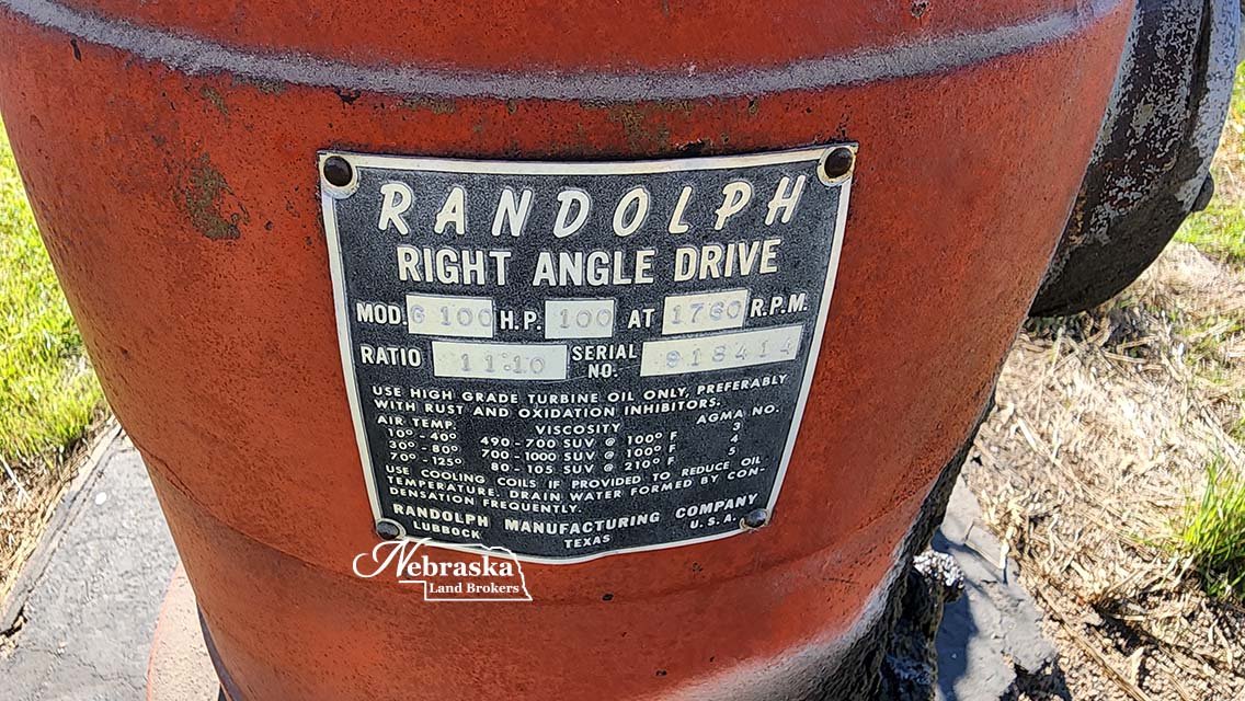
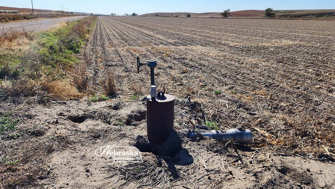
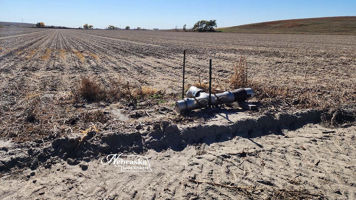
The irrigation water on the gravity irrigated cropland flows north to south and divided into 3 fields. The irrigation well is located at the north end of the cropland on the east side of the road. The power unit is owned by the current tenant and could be purchased separately. The middle field utilizes water from the well and the reuse pit. The small south field utilizes water from the reuse pit at the bottom of the middle field. The productive cropland soils are made up of Class II Cozad and Hobbs silt loams.
Registered irrigation well G-106110 was drilled in 1981 to 430’ with pump set at 200’. Well was rated at 1200 gpm at drilling time. No work has been done to the pump for some time now. Central Platte NRD indicates there are 79.25 certified irrigated acres with the well.
Two small non-irrigated cropland fields lie just west of the irrigated cropland.
The property will be available for full possession upon closing contingent upon the current lease which ends February 28, 2024.
AERIAL PROPERTY & INFORMATIONAL MAPS
Click on an image to view at full size.