
Located in northwestern Blaine County, this is a good opportunity to purchase a North Loup River Ranch property with a mix of good sandhill grass and both sides of the river for over 3/4’s mile. The property is a diamond in the rough with good opportunities to improve the property with clean up and deferred maintenance.


This ranch is currently owned by the Bank of Blue Valley and is being offered for sale. The ranch was formally used as a background feeding operation. The feeding pens were fenced with electric high tensile wire but are in poor condition. The status of the wells, water lines and tanks are unknown. The building site is offered in “as is” condition and will need some clean-up.
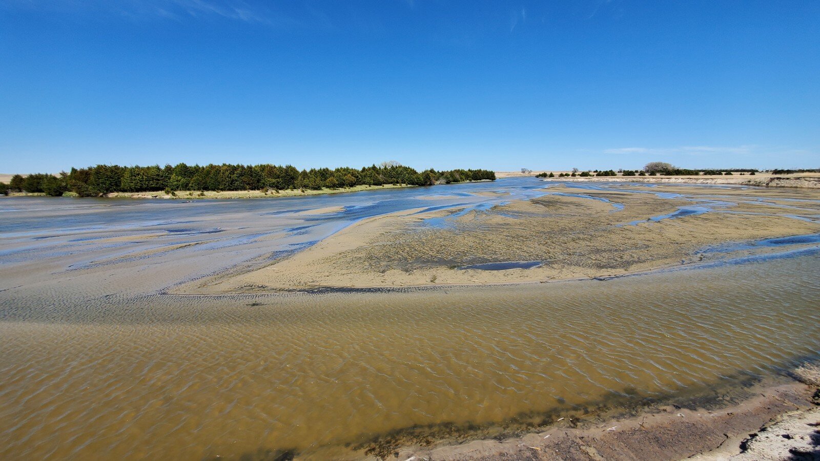
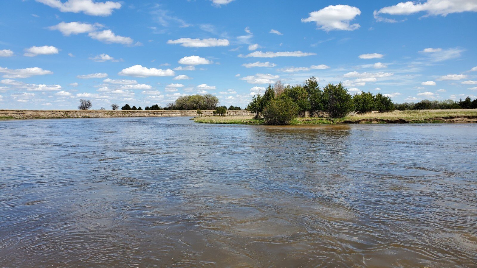
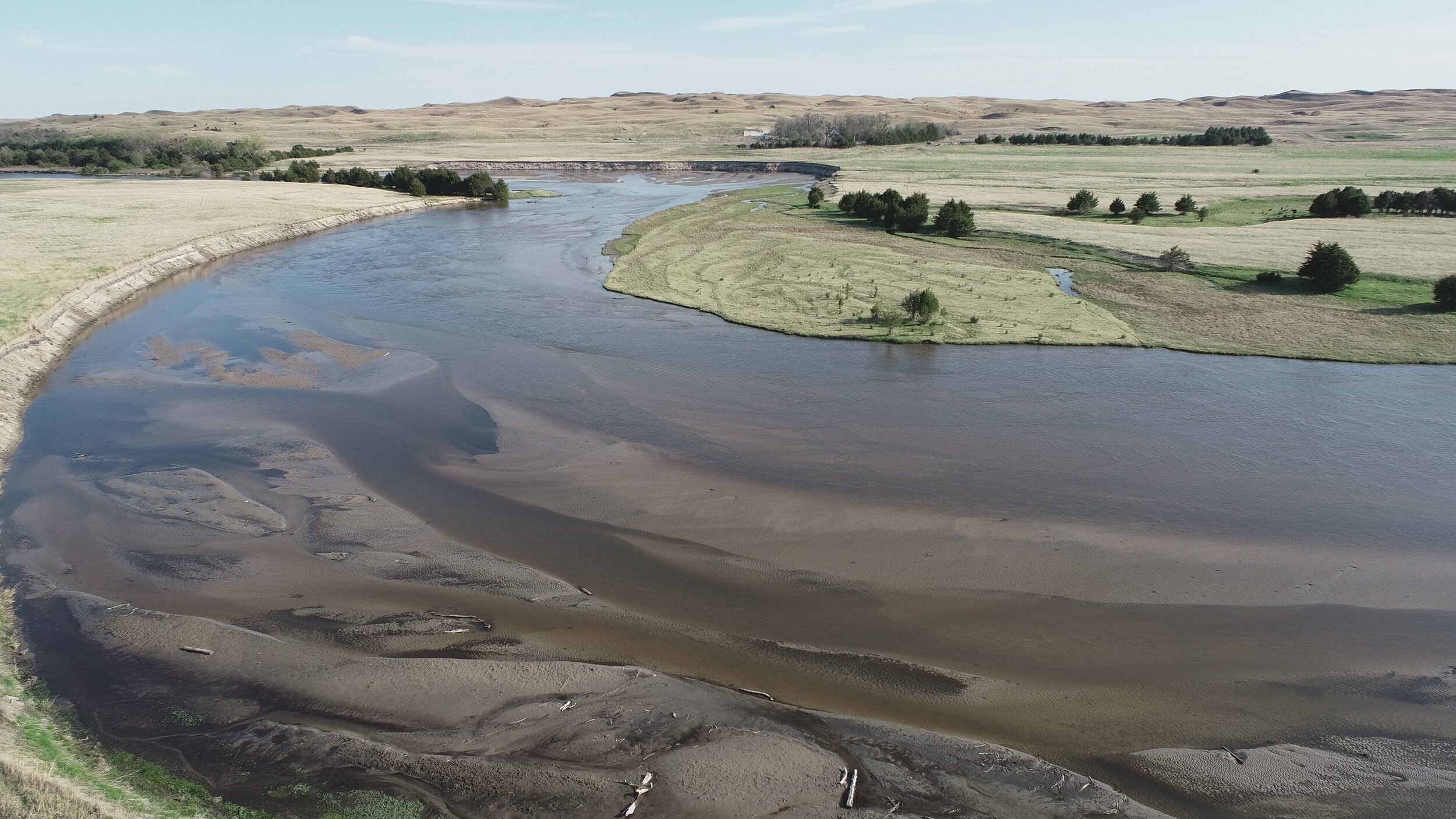
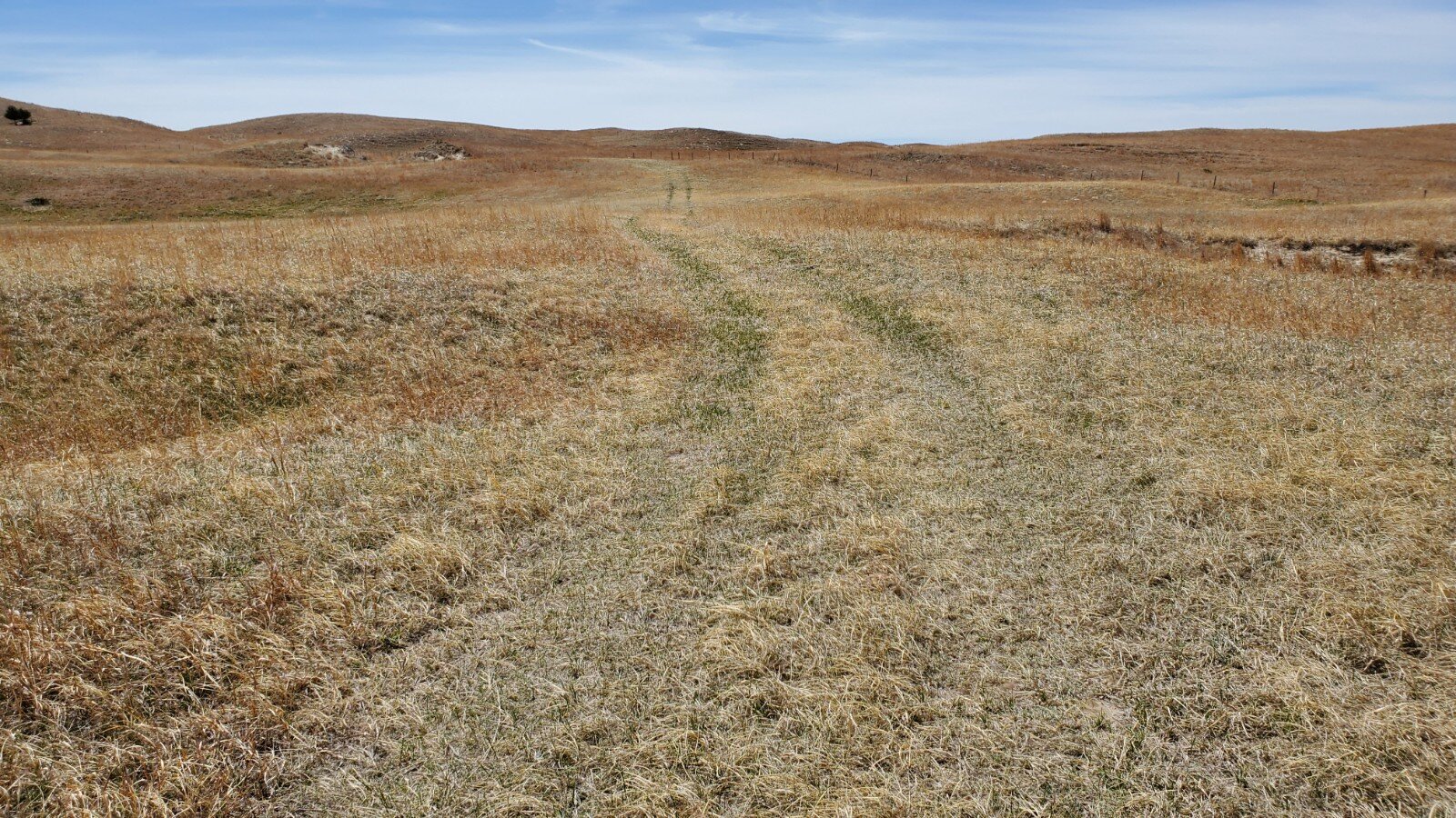
There is approximately 750 acres of good sandhill pasture that lays to the south of the building site and North Loup River. Approximately 100 acres of bottom land lays to the south of the river and approximately 105 acres of pasture lays to the north of the river. An additional 120+/- acres includes sandhill grass, feeding pens and tress.
There is over 3/4’s a mile of North Loup River with frontage on both sides. This river area includes approximately 75 acres and provides habitat for whitetail and mule deer, turkey and water fowl.
This ranch is truly a diamond in the rough and the new owner can take advantage of the opportunity.
Call or text Duane McClain, Listing Broker for more information or to schedule a tour of this property at 308.530.0221
LOCATION:
The ranch is in northwestern Blaine County on Hillside Road and North Loup River Road. This is 12 miles east of Purdum, 14 miles west of Brewster or 18 miles north of Dunning, NE.
LEGAL DESCRIPTION:
Township 24 North – Range 24 West of the 6th P.M., Blaine County, Nebraska, Section 28: S1/2NE1/4; Section 33: All; Section 34: W1/2W1/2
PRICE
$790,000 SOLD & CLOSED 6.12.20
ACRES
1,198.77+/- estimated taxed accessed acres
TAXES
2019 taxes payable in 2020 are $5,589.34
AERIAL PROPERTY & INFORMATIONAL MAPS
Click on an image to view at full size.


